OTE - Oregon Travel Experience

McKay, Thomas

Posted on: October 22nd, 2024 in Historical Marker Details |

One of the Oregon Country’s most picturesque fur-traders, Thomas McKay, is buried near Scappoose. He was a daring leader, famous storyteller and could drive a nail with a rifle ball. A Canadian, he arrived with Astorians as a teenage boy; served with North West Company, became a clerk with the Hudson’s Bay Company, established a grist mill at Champoeg. Alexander McKay, a victim of the Tonquin Massacre was his father …

Read More

Lone Tree of the Oregon Trail

Posted on: October 21st, 2024 in Historical Marker Details |

Early Oregon Trail emigrants crested the south flank of Flagstaff Hill and, with the Blue Mountains looming to the west, saw a solitary tree in the valley below. Called l’arbre seul (the lone tree) by French-Canadian fur trappers, this large tree, possibly ponderosa pine or Douglas-fir, towered majestically above the floor of Baker Valley about three miles northwest of this marker.

For many years–perhaps centuries–the Lone Tree served as a landmark …

Read More

Laurel Hill

Posted on: October 21st, 2024 in Historical Marker Details |

The Pioneer Road here detoured the Columbia River Rapids and Mount Hood to the Willamette Valley. The road at first followed an old Indian trail. The later name was Barlow Road. Travel was difficult. Wagons were snubbed to trees by ropes or held back by drags of cut trees. Early travelers named the hill from the resemblance of native leaves to laurel.

Location: 2 miles west of Government Camp

Learn More: Visit …

Read More

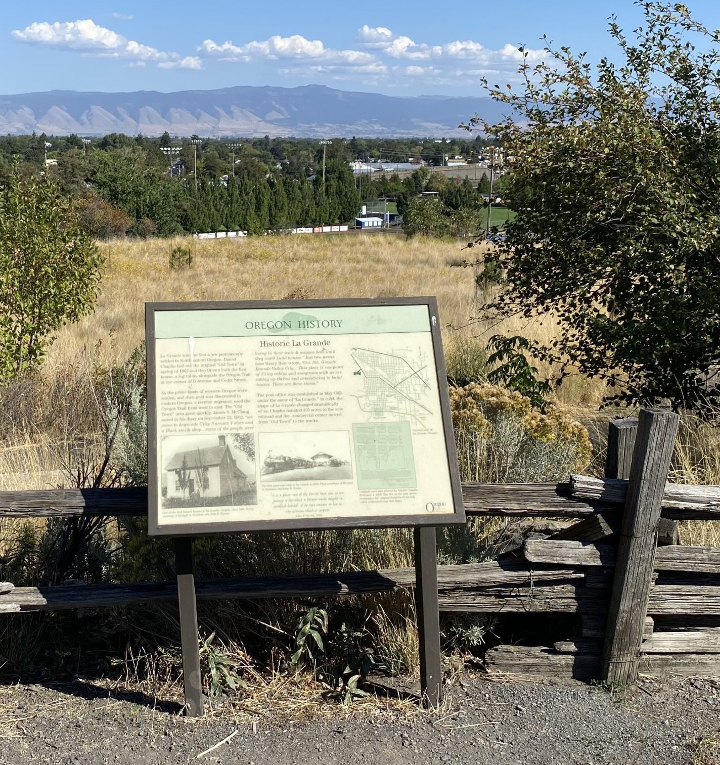
Historic La Grande

Posted on: October 21st, 2024 in Historical Marker Audio Tours, Historical Marker Details |

La Grande was the first town permanently settled in Northeastern Oregon. Daniel Chaplin laid out the original “Old Town” in spring of 1862 and Ben Brown built the first house, a log cabin, alongside the Oregon Trail at the corner of B Avenue and Cedar Street.

As the prime lands of western Oregon were settled, and then gold was discovered in eastern Oregon, a reverse migration used the Oregon Trail from …

Read More

Joel Perkins

Posted on: October 18th, 2024 in Historical Marker Details |

Joel Perkins was 23 years old when he and several relatives traveled the Oregon Trail from Indiana in 1844. He quickly settled a land claim and, in December 1846, established the town of Lafayette, which the Oregon Provisional Government recognized as Yamhill County’s first county seat. Perkins made himself the town’s clerk, and when he officially platted it in 1849, he donated a full block to be used as the …

Read More

Japanese Attack on Oregon

Posted on: October 18th, 2024 in Historical Marker Audio Tours, Historical Marker Details |

Prior to the attack on Pearl Harbor, a contingent of Japanese I-Class submarines sailed from Yokosuka via the Marshall Islands to take up positions off Hawaii and the coast of North America. Five of these vessels carried midget two-man submarines and 11 carried aircraft.

Early on the morning of September 9, 1942, the Japanese submarine I-25 surfaced off Brookings. The crew quickly assembled a specially designed seaplane, and within a few …

Read More

Indian Trails

Posted on: October 18th, 2024 in Historical Marker Details |

An ancient trail passed through here as part of an extensive Indian trade network linking peoples of the Northern Great Basin and Columbia Plateau to those living west of the Cascades. Obsidian, bear grass, and slaves were transported over these trails to major trading locations along the Columbia River in exchange for dried salmon, smelt, sturgeon and decorative sea shells. The long established route was later used by Peter Skene …

Read More

Homeland of the Cow Creeks

Posted on: October 17th, 2024 in Historical Marker Details |

This portion of the southwest Oregon is homeland to the Cow Creek Band of Umpqua Indians. They thrived here for thousands of years before contact with Euro-Americans. Living in plank-house villages, they followed a seasonal round of resource use. Moving from summer camas meadows and salmon fisheries along the rivers to the high country, they picked huckleberries and hunted for deer in the fall. By late fall they returned to …

Read More

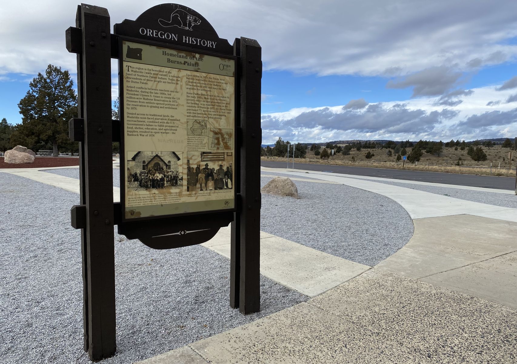
Homeland of the Burns Paiute

Posted on: October 17th, 2024 in Historical Marker Details |

This region is the homeland of the “Wadatika” (wada seed eaters), a nomadic band of Northern Paiute Indians. Today, the descendents of these people are known as the Burns Paiute.

Armed conflicts between ranchers and the “Wadatika”, during the late 1800s, led President Ulysses S. Grant to create the 1.8 million-acre Malheur Reservation in 1872. Pressure from settlers opened portions of the reservation to grazing and settlement by 1876.

Denied access to …

Read More

Hollering Place

Posted on: October 17th, 2024 in Historical Marker Details |

A strategic site for communication, trade, and travel: Where this marker now stands, the villages of Kie-mes-itc on this side (Hanis Coos people) and El-ka-titc on the spit to the west (Miluk people), were close enough to call across the bay for a canoe ride-hence the translation of El-ka-titc, “Hollering Place.” Coos Bay has been a trade and transportation center for thousands of years.

Camp Cast-a-way: In 1852, the chartered schooner …

Read More