Payments
West, “Captain” John
Posted on: November 6th, 2024 in Historical Marker Details |
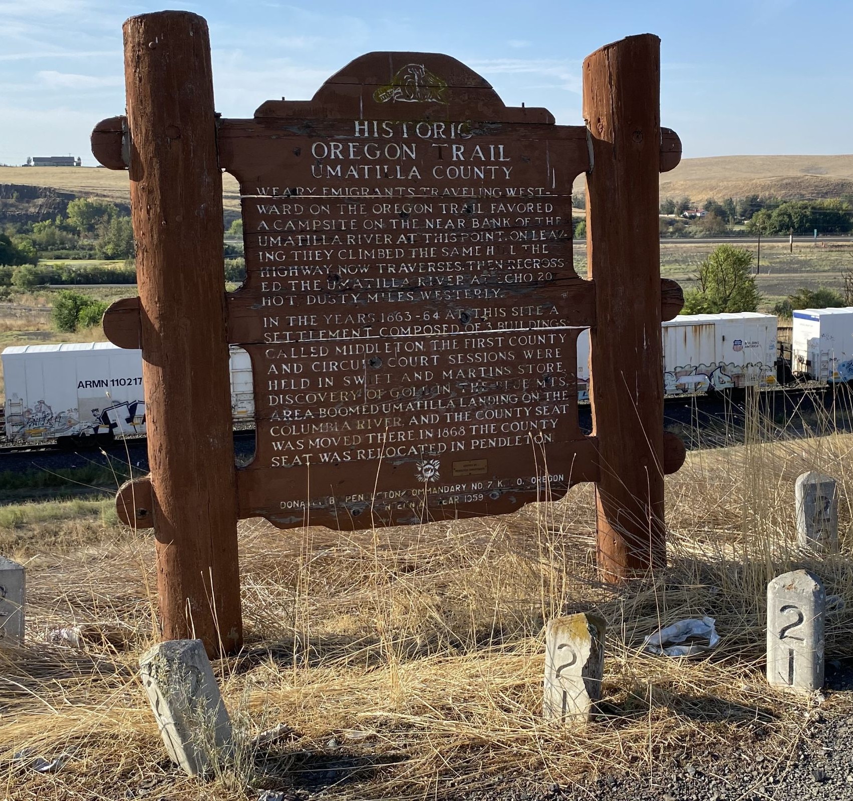
John West was a self-made man. A native of Scotland, he settled on the lower ColumbiaRiver near this spot in the early 1850s after trying his luck in the goldfields of California. West built and operated sawmills, ran a general store and post office, built and managed a salmon cannery, developed and improved canning machinery, and exported lumber. He also exported canned salmon around the globe and left his name …