 Payments
Dry River Canyon
Posted on: October 9th, 2024 in Historical Marker Details |
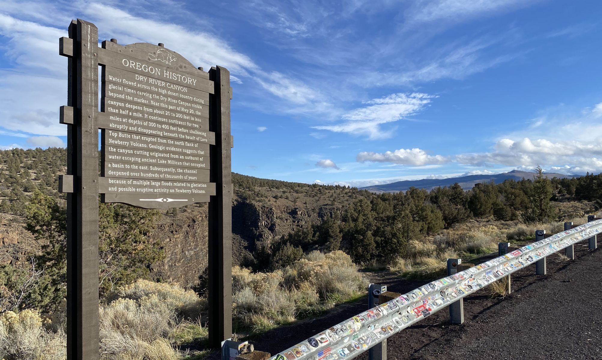
Water flowed across the high desert country during glacial times carving the Dry River Canyon visible beyond the marker. Near this part of Hwy 20, the canyon deepens from about 20 to 200 feet in less than half a mile. It continues northwest for two miles at depths of 300 to 400 feet before shallowing abruptly and disappearing beneath the basalt of Lava Top Butte that erupted from the north flank of Newberry Volcano.
Geologic evidence suggests that the canyon cutting originated from an outburst of water escaping ancient Lake Millican that occupied a basin to the east. Subsequently, the channel deepened over hundreds of thousands of years because of multiple large floods related to glaciation and possible eruptive activity on Newberry Volcano.
Location: 4 miles west of Milican at Horse Ridge, north side of US 20
Learn More: Visit Oregon Encyclopedia